Lot
5702
Lot 5702
Cartography - Maritime Navigation - a collection of Royal Cr...
1/1
Hammer
£75
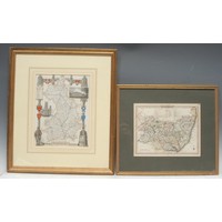
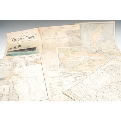
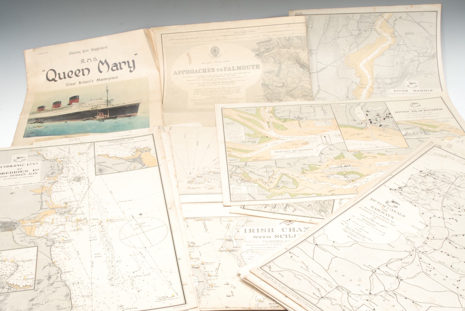
Cartography - Maritime Navigation - a collection of Royal Cruising Club charts, including no.11 Colne Blackwater, Crouch 1896, 25" x 19"; no. 4 Tide Charts, Thames Estuary; 216 Copeland Isles, Donaghadee Sound; 205 Tide Chart, Irish Sea; others [92]; other maps and charts, Imray Chart, Isle of Wight; Beachy Head to Selsey Bill; Japanese maps; etc (qty)
Closed
Auction Date:
14th Jan 2021
at
10am
Fees apply to the hammer price:
Room and Absentee Bids:
25.20% inc VAT*
Online and Autobids:
28.8% inc VAT*
Please see the auctioneers terms & conditions for more information