Lot
3749
Lot 3749
Cartography - an early 20th century wall chart, Scarborough'...
1/3
Hammer
£25
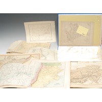
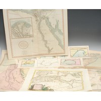
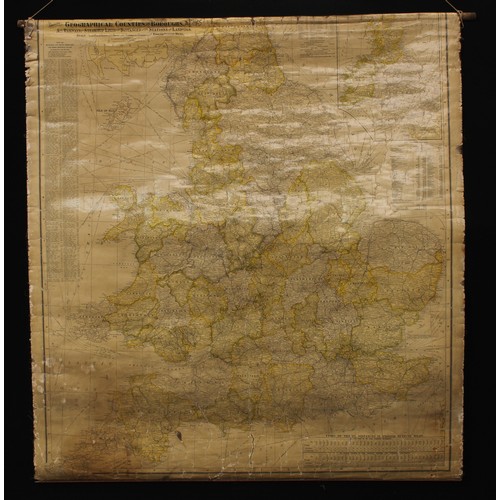
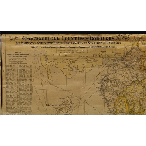
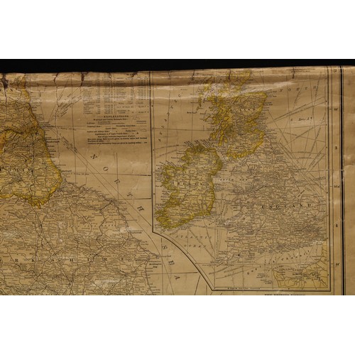
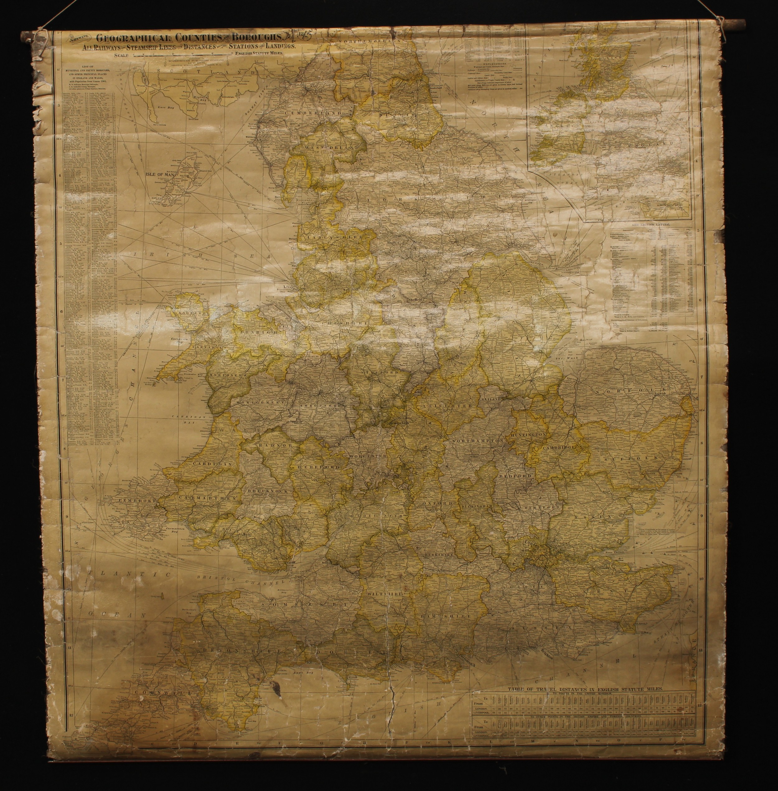
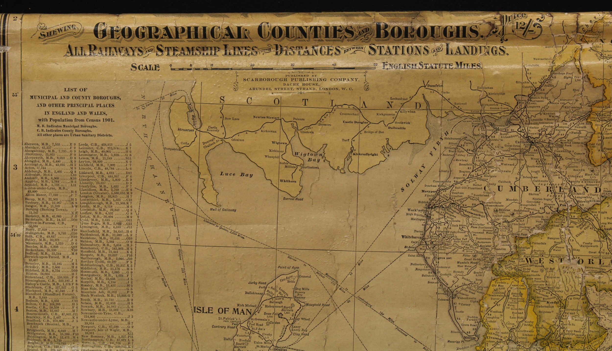
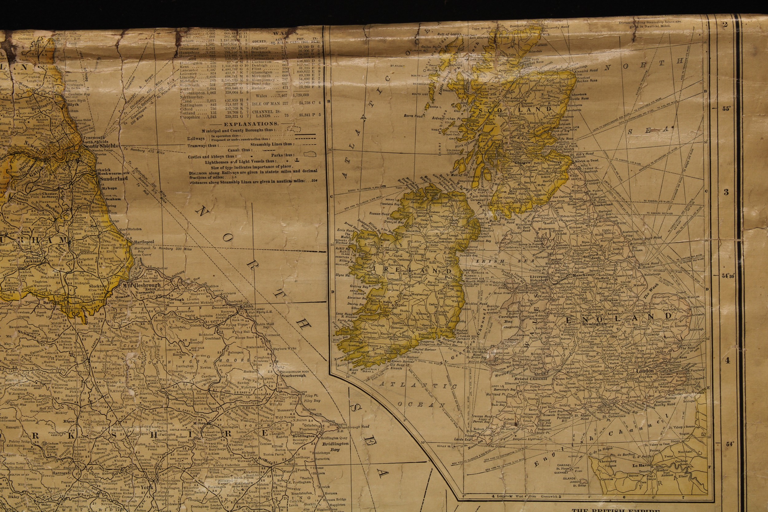
Cartography - an early 20th century wall chart, Scarborough's map of England and Wales shewing geographical counties and boroughs : all railways and steamship lines with distances between stations and landings, laid on linen, 100cm x 91cm
Closed
Auction Date:
2nd Sep 2021
at
10am
Fees apply to the hammer price:
Room and Absentee Bids:
29.70% inc VAT*
Online and Autobids:
29.7% inc VAT*
Please see the auctioneers terms & conditions for more information