Lot
5706
Lot 5706
Maps, a collection of rolls of Ordnance Survey and other map...


Estimate
£60 - £100
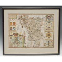
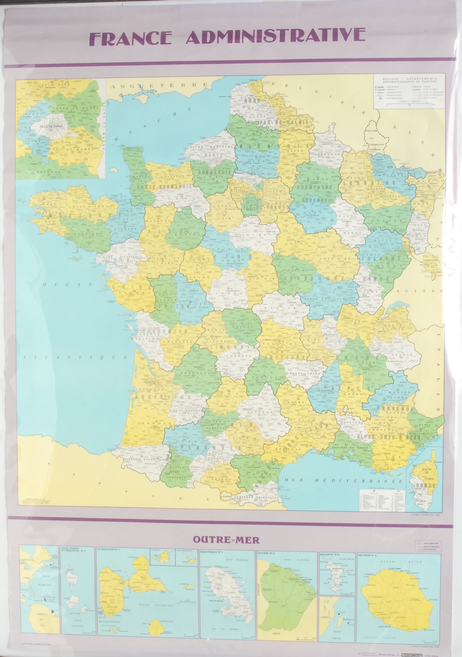
Maps, a collection of rolls of Ordnance Survey and other maps, mainly of Venezuela and the Caribbean, to include American Geographical Society (NY) 1:1,000,000 Venezuela: Roraima, Caracas and Mouth of the Orinoco, colour printed 83 x 66.5cm; OS standard format maps 91 x 76cm of Jamaica 1966 1:250,000; others, 1959 1:50,000: Lucea, Savanna-La-Mar, Montego Bay-Falmouth, Mandeville-Black River, Malvern-Alligator Pond, St. Ann’s Bay-Moneague, Chapelton, May Pen-The Alley, Port Maria-Butt Bay, Kingston & Morant Bay; Tobago 1962-63 1:25,000 Scarborough, Roxborough-Charlottesville and Speyside, Plymouth; also Trinidad 1:50,000 Montserrat, with 1970 1:25,000 Matelot and North Coast, Northern Range Reserve, La Vache Bay, Western tip of island, Port-of-Spain east, Port-of-Spain west, Blanchisseuse, Chacachacate & Huevos Islands; 1:150,000 gulf of Paria and 1968 named tenancy and land allocation plan of Matura Ward, St. Andrew, black and white, along with France, poster style coloured map with inset island dependencies 100 x 68cm (1990) 1:1,500,000 also Soviet Union OS map (1958) 115 x 86cm 1:8,000,000 (qty)
Fees apply to the hammer price:
Room and Absentee Bids:
25.20% inc VAT*
Online and Autobids:
28.8% inc VAT*
Please see the auctioneers terms & conditions for more information