Lot
4026
Lot 4026
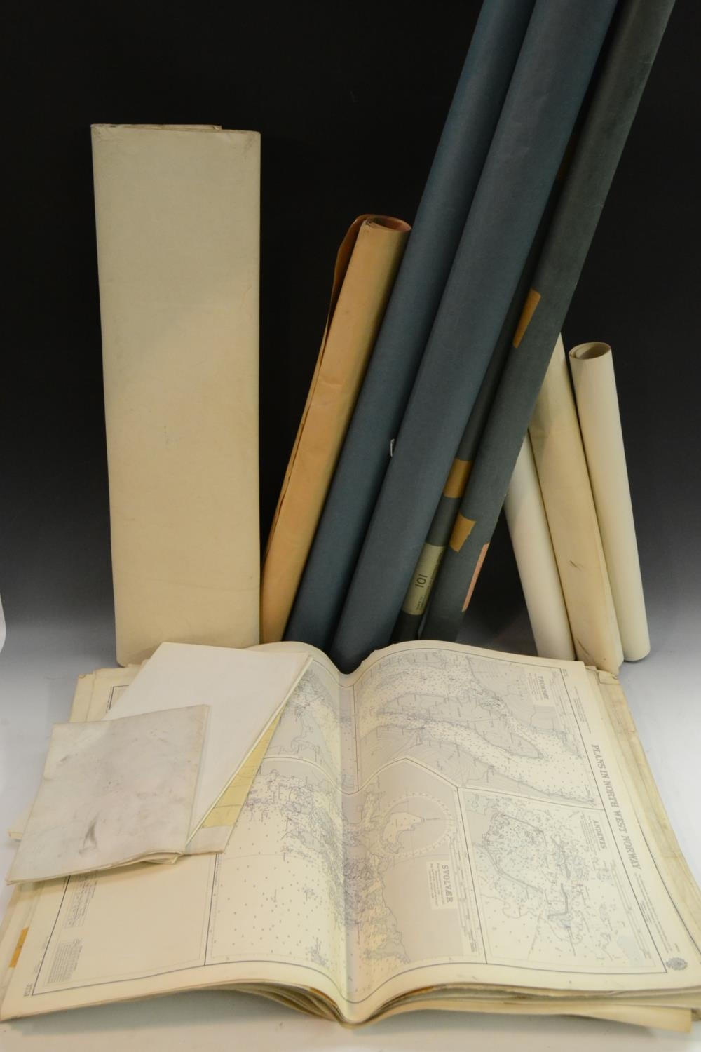
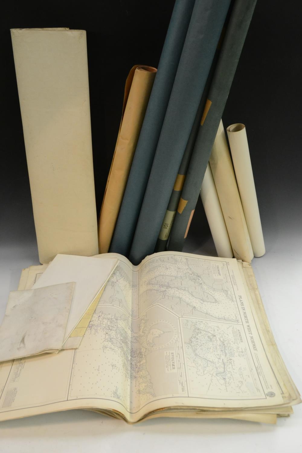
A large collection of Admiralty charts, flat folded charts 4...
Hammer
£140
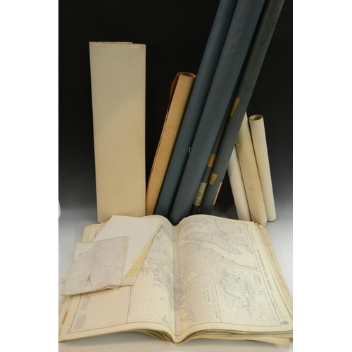
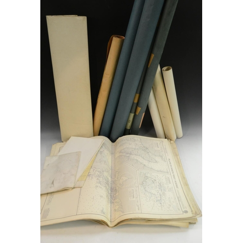
A large collection of Admiralty charts, flat folded charts 41 x 28in (104 x 71cm) on laid paper, covering British Isles, Norway, Canadian east coast, Iceland, Greenland, arctic islands, scales varying from 1:25,000 to 1:4.570,800, Admiralty issues 1954-1964, used by Fred Olsen ships and all stamped Cancelled on reverse 48 in all, also set of four rolled-up Admiralty fishing grounds charts: Bear Island, East of Kanin, North Sea & Scotland to Norway, similar dates; US Air Force air navigation charts 1961 edition: London to Moscow & Davis Strait to Sheltland Is. 54 x 36in (1377 x 91.5cm); also two Geological maps of British Isles 1961, also Shrewsbury sheet 1 in:1 mile OS geological map, two educational charts: Grimsby before enclosure 44 x 24in (112 x 61cm) 1962 by Rex Russell, Corporation of London governance 1950s, 30 x 40in (76 x102cm) (qty)
Fees apply to the hammer price:
Room and Absentee Bids:
25.20% inc VAT*
Online and Autobids:
25.2% inc VAT*
Please see the auctioneers terms & conditions for more information