Lot
3747
Lot 3747
Cartography - a collection of 17th century and later maps of...
Hammer
£260
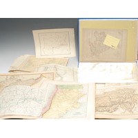
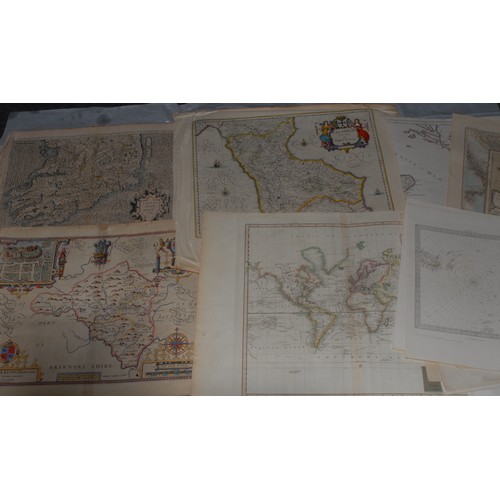
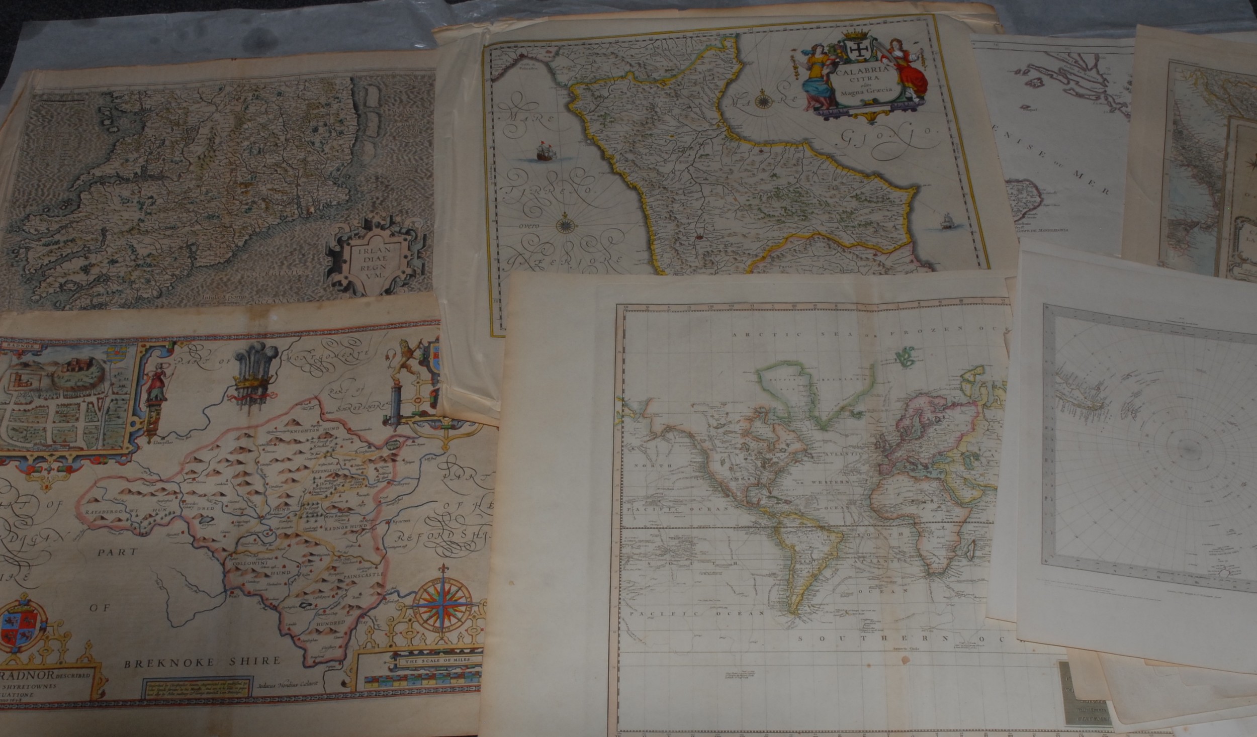
Cartography - a collection of 17th century and later maps of GB, Europe, and World, including Ireland, Gerardus Mercator (1512-1594), Irlandiae Regnum, [n.d., 1616], two-fold engraving, some colouring, 40.5cm x 52cm, (1); Christopher Saxton (c. 1540-c. 1610), Radnorshire, Wales, [London]: John Speed, [n.d.], copperplate engraving, later hand-colouring, 46cm x 52cm, (1); Emanuel Bowen (1694-1767), A New & Accurate Map of the Netherlands or Low Countries [...], No. 13, [London: 1747], two-fold, engraving, 46cm x 56.5cm, (1); Scott (R), Hydrographical Chart of the World on Wright or Mercator's Projection, [Edinburgh: 1814], two-fold hand-coloured engraving, 52cm x 71.5cm, (1); Polar, two maps: John & Charles Walker, Circumjacent of the North [&] South Pole, 19th century, 41cm x 33.5cm, (2); Robert de Vaugondy (1688-1766), [Northern Part] Royaume de Naples, Venice: 1779], copperplate engraving, delineated in colour, 51.5cm x 73cm, (1); Nicolas Bailleul le jeune (fl. 1740 - 1750), L'Italie [...], Lyon: 1762, two-fold engraving with some hand-colouring, 50cm x 70cm, (1); Pierre M. Lapie (19th century), Carte de l'Europe [&] Scandinavie, two-fold engravings, 67.5cm x 51.5cm & 51.5cm x 67.5cm, (2); Turkey, Syria, the Holy land, Italy; 17th century and later book leaves with in-text illustrations of globes, armillary spheres, cartographic and scientific instruments, (7); etc., [folio]
More Information
Please find attached some further images, including the Ireland and Naples maps.
The Ireland map is only the southern part on one sheet, the fold just refers to the vertical seem. Apologies for any confusion.
Fees apply to the hammer price:
Room and Absentee Bids:
29.70% inc VAT*
Online and Autobids:
29.7% inc VAT*
Please see the auctioneers terms & conditions for more information