Lot
4042
Lot 4042
A collection of 17th, 18th and 19th century British national...

Hammer
£200
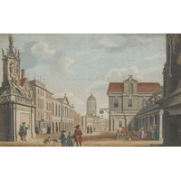
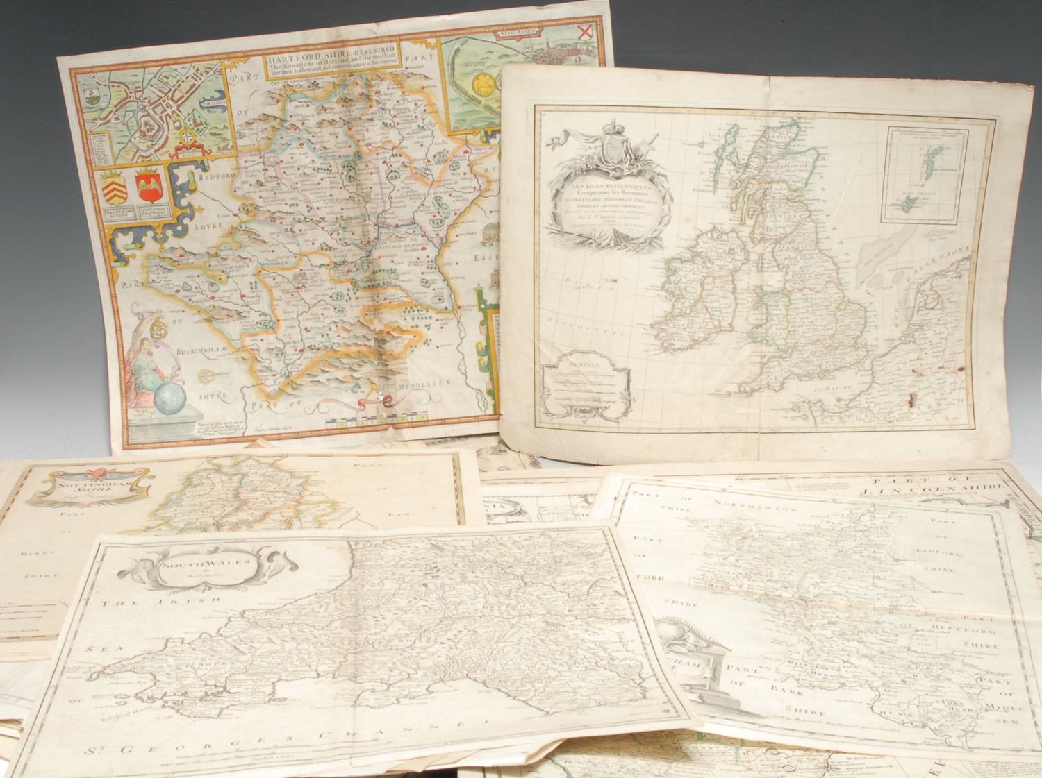
A collection of 17th, 18th and 19th century British national and county maps, including John Speed (1552-1629), two county maps: Cumberland (Cumbria) and Hartford Shire (sic, Hertfordshire), mixed states and sizes, hand-coloured engravings, (2); Andrew Johnston (fl. 1683-1730), three maps: South Part of Scotland (2) and North Part of Scotland, (1), various states, engravings, 39cm x 49cm, loose; Robert Morden (1650 - 1703), eleven county maps: Bedfordshire, Buckinghamshire, Hertfordshire, Huntingtonshire, Kent, Middlesex, Monmouth (2), Nottinghamshire, South Wales, Sussex, engravings, various states and sizes, loose; Greenwood's County of Dorset, London: 1829, 65cm x 75cm, (1); Bowen's Northampton Shire, London: [n.d., c. 1765], (1), (faults); Britannia Saxonica, (3); etc., various sizes and dates, [approx. 20]
Fees apply to the hammer price:
Room and Absentee Bids:
25.20% inc VAT*
Online and Autobids:
28.8% inc VAT*
Please see the auctioneers terms & conditions for more information