Lot
448
Lot 448
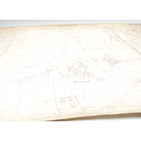
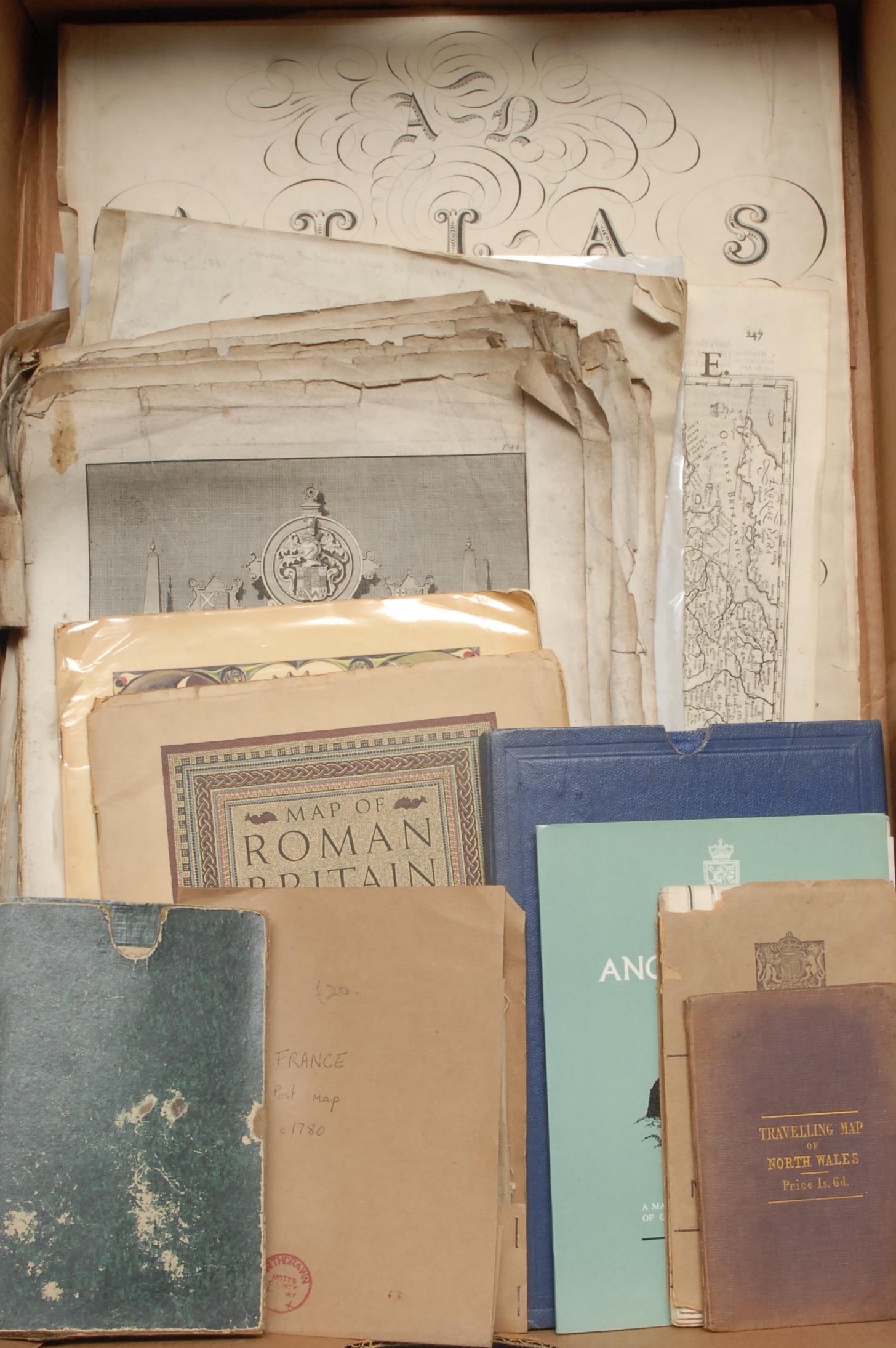
Cartography - G. & J. Cary (publishers), No. 20 [Map of Part...
![448 - Cartography - G. & J. Cary (publishers), No. 20 [Map of Parts of Sussex, Kent and Surrey], London: A...](https://content.easyliveauction.com/auctions/images_lots/D25E94ED10D7736022C9C89B4DE884E8_bam01/1100345459_PREVIEW.JPG)
Hammer
£70
Cartography - G. & J. Cary (publishers), No. 20 [Map of Parts of Sussex, Kent and Surrey], London: April 2nd 1832, hand-coloured engraving, 20-sections laid on linen, original marbled slipcase, 56cm x 68.5cm, (1); Edward Hoare (fl. 1822-1840) & James Reeves (1801?-1868), England, from Murray's 'Atlas of the English Counties [...], London: Published May 1st 1830, 93cm x 73cm overall, (1); France, Postal Map, Tableau Général des Postes [...], [?Paris: n.d., c. 1780, engraving, 9-parts laid on linen, later wrapper, 43cm x 41cm, (1); John James Dower (b. 1825), Map of North Wales, Chester: Published by Seacome & Prichard, [n.d., c. 1850], hand-coloured engraving, laid on linen, 32cm x 39.5cm, original boards, (1); Chart Publishing Company large-scale map of England and Wales, 20th century, (1); late 17th century and later antiquarian engravings and prints, various; vintage Ordnance Survey maps of Iron Age and Roman Britain; etc., some with ex-lib blindstamps and other markings, [collection]
Fees apply to the hammer price:
Room and Absentee Bids:
29.7% inc VAT*
Online and Autobids:
29.7% inc VAT*
Please see the auctioneers terms & conditions for more information